
DATA MANAGEMENT & GIS
Data Integration & Geospatial
Analytics
We integrate geospatial technologies, data management, and advanced analytics to transform complex data into strategic solutions for the energy, mining, environmental, and infrastructure sectors

Multidisciplinary Integration
Intelligent Dashboards
OUR INTEGRATED APPROACH
OUR INTEGRATED APPROACH
GIS & Geospatial Analytics
Integration and spatial analysis of geological, environmental, and territorial data to support strategic decision-making.
Document Management & Geodatabases
Organization, standardization, and management of technical information within centralized document and geospatial database environments.
Data Loading & Validation
Data loading, QA/QC, and validation of seismic, geophysical, well, and production datasets.
Workflow AutomatioN
Process automation to improve data updates, traceability, and the availability of technical information.
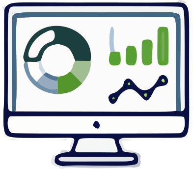
Dashboards & Visualization
Interactive dashboards for operational monitoring, KPI tracking, and data visualization.
Multidisciplinary Integration
Integrated access to geological, environmental, and operational information, providing a unified view for informed decision-making.
Specialized Solutions
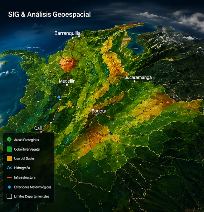

GIS & Geospatial Analytics
Tools and advanced analytics to better understand the territory and support strategic decision-making.

Geospatial Data Integration & Analysis
Thematic Mapping

2D/3D Visualization
GIS Web Application Development

Satellite Data Processing

Territorial Monitoring
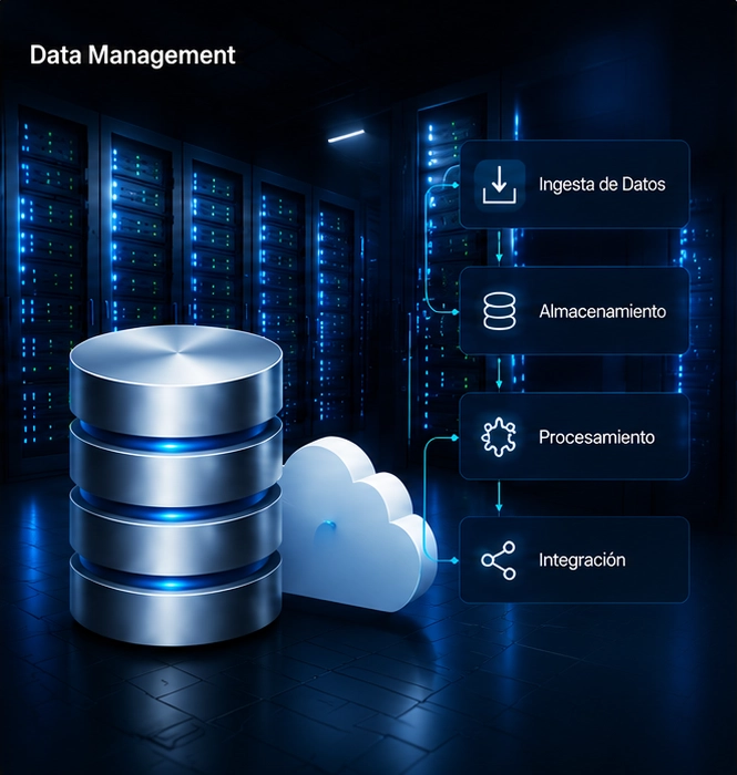

Data Management
Management, integration, and governance of technical data for energy, mining, environmental, and infrastructure projects.
Data Integration & Structuring
Document Management & Geodatabases
Technical Data QA/QC
Workflow Automation
Operational Dashboards
Multidisciplinary Data Integration
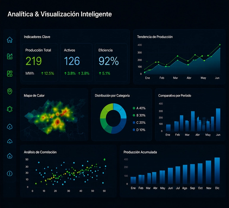
Advanced Analytics & Visualization
We transform data into actionable insights that support smarter and more efficient decision-making.
Business Intelligence
Executive Dashboards
Operational KPIs
Advanced Analytics
Automated Reporting

Strategic Data Visualization
Technology & Capabilities

GIS Platforms
ArcGIS Pro, QGIS, and Web GIS environments for geospatial analysis and visualization.
Enterprise Geodatabases
SQL/GIS, File Geodatabases, and enterprise geospatial database management.
E&P Integration
Petrel, Kingdom, OpenWorks, and integrated platforms for subsurface interpretation and energy data management.

Satellite Data Processing
Google Earth Engine, SNAP, and advanced tools for multispectral analysis and Earth observation.
Interactive Dashboards
Power BI, ArcGIS Dashboards, and visualization platforms for technical and operational decision support.

Cloud Infrastructure
Cloud storage, enterprise servers, and centralized access to technical information.
Workflow Automation
ModelBuilder, Python, and workflow automation for GIS and data management processes.

QA/QC
Validation, standardization, and quality control of geoscientific and operational data.
Capabilities That Drive Value
Centralized Information
Unified access to technical and geospatial data through a centralized information environment.

Faster Decision-Making
Timely access to information for efficient analysis, monitoring, and decision support.

Greater Operational Efficiency
Optimized workflows and streamlined information management to improve operational performance.

Risk Reduction
Data validation and quality control processes that increase confidence and reduce operational risk.
Information Traceability
Organized, traceable, and continuously updated management of technical data throughout its lifecycle.

Operational Scalability
Flexible methodologies and scalable solutions that adapt to projects of varying sizes and data volumes.